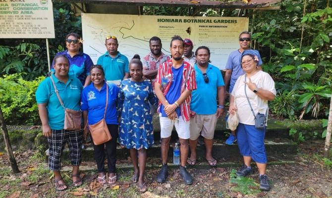
Building a network of protected areas across Solomon Islands is empowered through training on field data collection this week. Members of the Ministry of Environment, Climate Change, and Disaster Management and Meteorology have embarked on a comprehensive Geographical Information Systems (GIS) and Kobo Toolbox Training initiative. Facilitated by the Secretariat of the Pacific Regional Environment Programme (SPREP) the training is supported by the IUCN-funded project, 'Ensuring Resilient Ecosystems and Representative Protected Areas in the Solomon Islands' (EREPA).
At its core, the EREPA project strives to establish a network of protected areas across Guadalcanal, Malaita, Renell-Bellona, and Temotu provinces. With SPREP's assistance, the project involves detailed analysis and mapping of the spatial component to foster healthy, productive, and restored landscapes within these regions.
“The training marks a significant step forward in enhancing our collective capabilities to address the complex challenges facing conservation and environmental stewardship,” said Mr Josef Hurutarau, the Acting Director of the Environment and Conservation Division (ECD) within the MECDM, Solomon Islands.
It follows on from two data workshops conducted in the Solomon Islands in March and August last year as part of the activities implemented by SPREP for the EREPA project. The workshops focused on data gathering from national stakeholders and validation of these spatial datasets to be used for analysis in determining the protected areas boundary for the four provinces studied.